
Fear is spreading downstream. It is now recurring in communities along the Mun and Mekong Rivers in Ubon Ratchathani province in northeastern Thailand as well as in southern Laos, especially Champasak Province, where the latest hydropower dam project on the Lower Mekong mainstream is being advanced towards the Mekong River Commission’s official Prior Consultation process — Phou Ngoy
At 76, Sompong Viengchan cannot yet retire.
A humble villager, Mae Sompong (Mother Sompong) had unfurled the banner of revolt to launch the famous “Pak Mun” protests in the 1990s, rallying with hundreds of villagers against the 136-megawatt (MW) Pak Mun hydropower dam built near the mouth of the Mun River, the Mekong’s major tributary in Thailand’s lower Northeast.
The protests reached their height in the late 1990s when they set up “Mae Mun Man Yuen” (Relentless Mun) village at the dam site and camped there for nearly two years to demand alternative dam operations to ease their suffering and compensation for the loss of their fishing livelihoods.
Mae Sompong became an iconic villager-turned-leader, representing the first relentless mass social movement against unsound development in the country. The movement later turned into the country’s biggest grassroots gathering, named “Assembly of the Poor”.
But just last year, in a meeting with the Ombudsman, she found herself embracing another public cause — this time voicing opposition to the proposed Phou Ngoy Dam.
“We have fought over the Pak Mun Dam for many years, but we have not received proper compensation until now for the livelihoods we have lost. This is despite the fact that it’s on our soil and under Thai laws.
“And now you are going to build Phou Ngoy, which is located in Laos. May I ask: how can we fight with it to protect what we have left?” Mae Sompong questioned.
Phou Ngoy Dam is the seventh hydropower project proposed for the MRC’s Prior Consultation (PC) process since 2020, but the PC commencement date has not yet been determined, pending additional data collection and studies, as well as the completion of the PC process for the sixth proposed project, Sanakham.
According to the 2022 Environmental Impact Assessment report on the project, Phou Ngoy, developed by Charoen Energy and Water Asia (CEWA), will be a 728 MW run-of-river dam with a height of around 98 metres, stretching across the Mekong River. It will be part of a system of 11 cascade dams planned on the Lower Mekong mainstream, approximately 1,360 km downstream from the first dam, Xayaburi, and around 130 km upstream from the second dam, Don Sahong.
Designated around 18 kilometres downstream of Pakse Town in Champasak, the dam will be only around 60 kilometres downstream from the Mun-Mekong River confluence in Khong Chiam District in Ubon Ratchathani. This proximity has raised concerns among local residents along the route about the possible adverse impacts the dam may cause.
According to the Ubon Monitoring Group on Flood and Mekong Dams (UMFD), in which Mae Sompong is participating, residents in the area are particularly concerned about the transboundary backwater caused by the impoundment of the dam. They are concerned that this backwater could worsen prolonged flooding in the area.
As explained by the group, Ubon Ratchathani Province is a major basin in the northeastern region that receives an enormous volume of water from watersheds and from various dams in the Mun and Chi River basins — be they Ubolratana, Lam Pao, Rasi Salai, and Huai Na. This volume of water is usually released into the Mun River during the rainy season and then into the Mekong River at Khong Chiam, the easternmost district of Ubon Ratchathani province.
In some past years, the situation worsened as the sluice gates of the Pak Mun Dam had obstructed the flow of floodwaters, as happened in 2022. In that year, the province faced the most severe flooding that extensively damaged homes, caused economic hardship and disrupted educational opportunities for children and youth for more than three months. The cost of the damage was estimated to have exceeded 10 billion baht.
The backwater from the new dam could gravely exacerbate their situation, as it will impede the drainage of those floodwaters, the group said. More critically, the dam could cause other transboundary impacts that affect fishing communities and livelihoods along the Mun and Mekong rivers, which have already worsened as a result of the Pak Mun Dam.
Aside from changes in the Mekong River’s flow regime and sediment transport, the dam could disrupt fish migration and aquatic ecosystems along the river, depleting their populations and biodiversity over time.
The dam’s location is just around 130 kilometres upstream from Siphandone (Four Thousand Islands), the unique and complex braided channels system, locally dubbed as the “capital of Mekong fish”. It would permanently block the migration of fish from Siphandone up and down the stretch of the river, affecting communities and their livelihoods on both the Thai and Lao sides of the border, the group noted.
Their concerns have valid grounds. According to an examination by the National Human Rights Commission and the EIA, the project could trigger transboundary impacts, as expressed by the residents.
For instance, the EIA noted that the pondage area of the dam could stretch up to 80 km. Therefore, the operation of Phou Ngoy would cause submergence of the Mekong River and tributaries along the pondage area, including the Mun River in Thailand and around the Kaeng Tana rapids nearby.
The EIA also noted that the dam site is located in the lower part of the “Middle Mekong migration zone” and just above the boundary of the “Lower Mekong migration zone”. The project will significantly obstruct the migration of fish in the middle zone to the tributaries and, to some extent, in the mainstream, the EIA noted.
“There will be a transboundary impact issue,” the EIA noted.
Phairin Sohsai, a campaign manager of the Rivers and Rights Foundation, campaigning for river rights and sustainable development projects in the Lower Mekong, questioned the rationale behind the project. She argued that Thailand did not need the Phou Ngoy Dam to help meet its electricity demand for the next seven years.
She explained that in the next five years, ongoing construction of Mekong dams, including Luang Prabang, Pak Lay, Pak Beng, Sekong 4A, and 4B, would contribute more than 3,395 MW to the national grid. This generation capacity will far exceed the country’s electricity demand. Furthermore, alternative energy like solar power and wind power are becoming cheaper, compared with hydropower dams that cannot generate electricity all year-round, Ms. Phairin said.
As of last year, electricity purchased from foreign countries already accounted for 6,235 MW, or 12% of the country’s installed capacity, according to the Energy Policy and Planning Office (EPPO). In 2024, the country planned to increase this share from 7% to 15%.
As noted by the EPPO, the peak demand recorded this month was about 34,620 MW. By the end of last year, the country’s installed capacity had already reached 54,336 MW, indicating a significant surplus of the power reserve margin, which typically stands at 15–20%.
“Villagers around Pak Mun say the government hasn’t been able to resolve problems caused by a dam located in our own country. So, what legitimacy will it have to demand that dam developers take care of transboundary impacts that may arise from projects outside our territory?” Ms. Phairin poses.
Mae Sompong just questioned: “What will you (the government) do to resolve the problem for us if Phou Ngoy is built?”
(Read: SPECIAL REPORT SERIES: Mekong in Peril)
The 2010 SEA noted that the Lower Mekong migration zone, where the iconic Siphandone and Khone falls are located, is by far the area that exhibits the highest diversity of Mekong’s fish, with 669 species recorded. The study states that this high diversity is largely due to the conjunction of freshwater, estuarine and marine fish faunas, particularly due to the incursion of coastal species into freshwater areas, as far as the Tonle Sap or even further upstream.
Photo: Sayan Chuenudomsavad
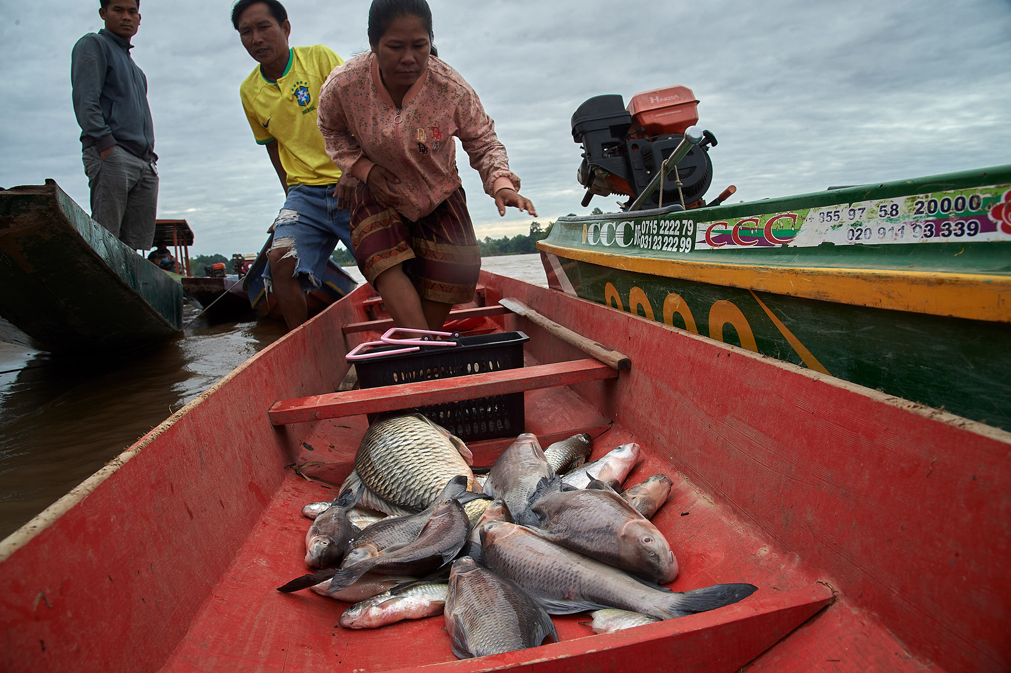
Photo: Sayan Chuenudomsavad
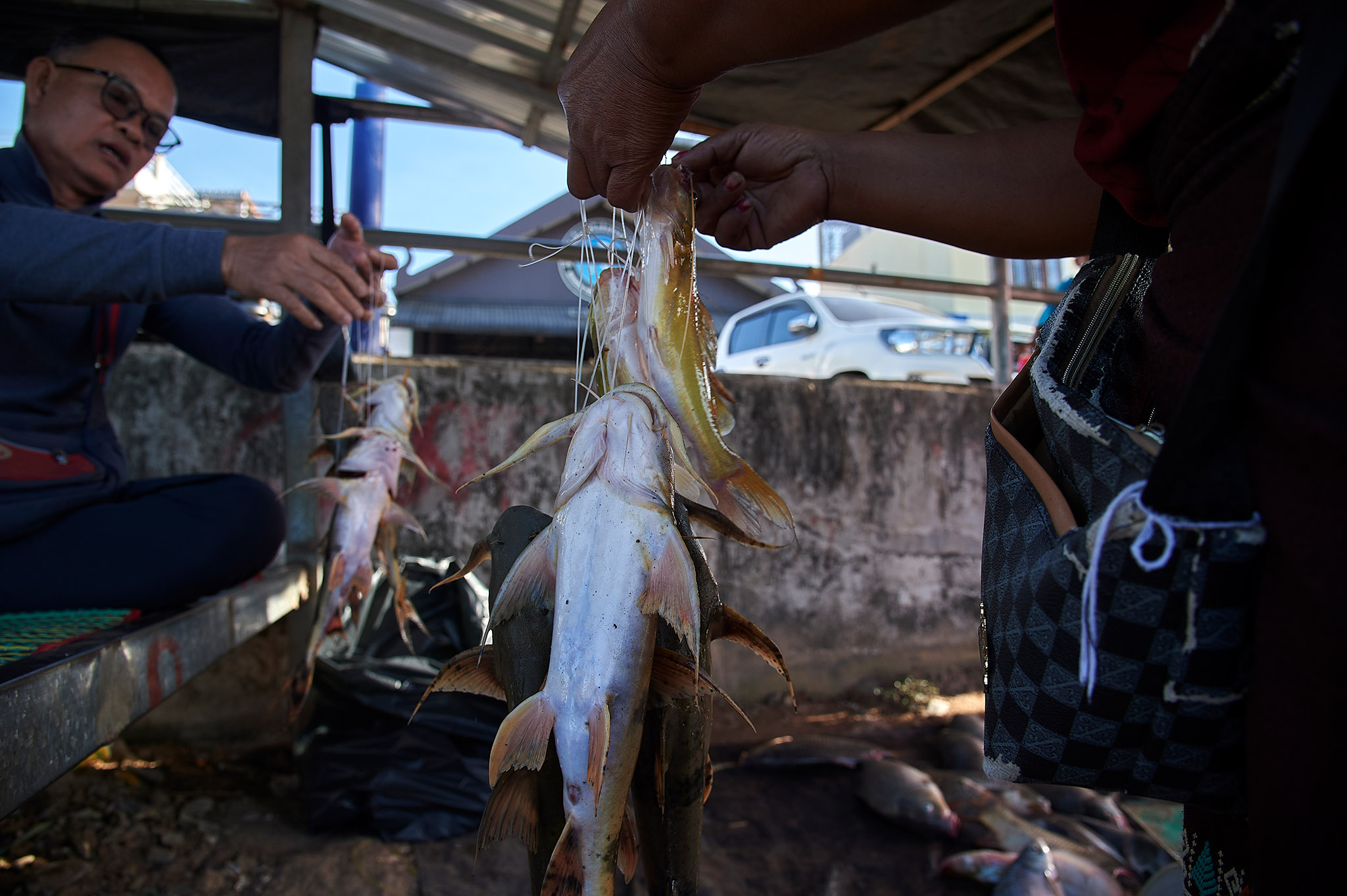
Photo: Sayan Chuenudomsavad
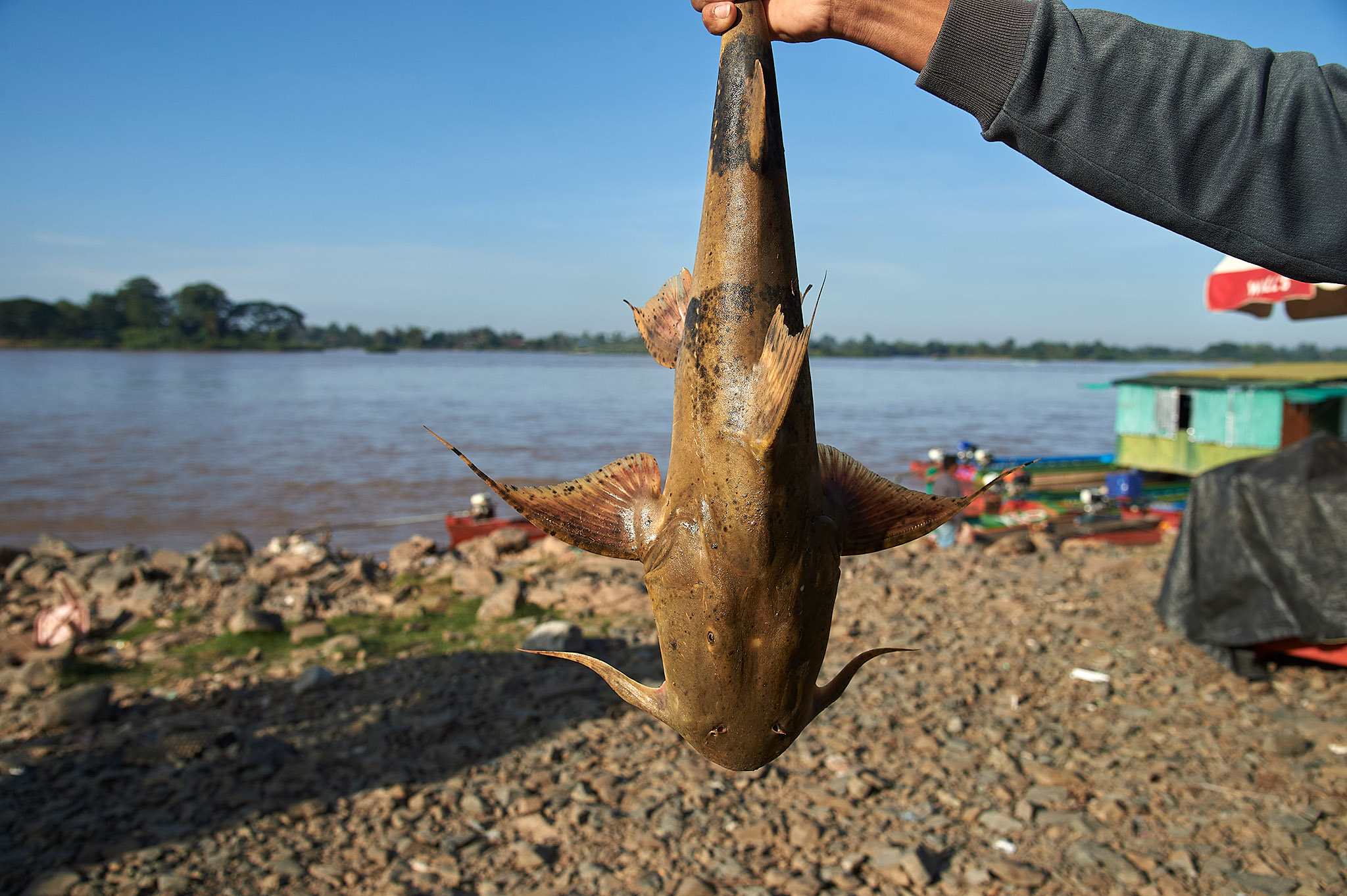
Photo: Sayan Chuenudomsavad
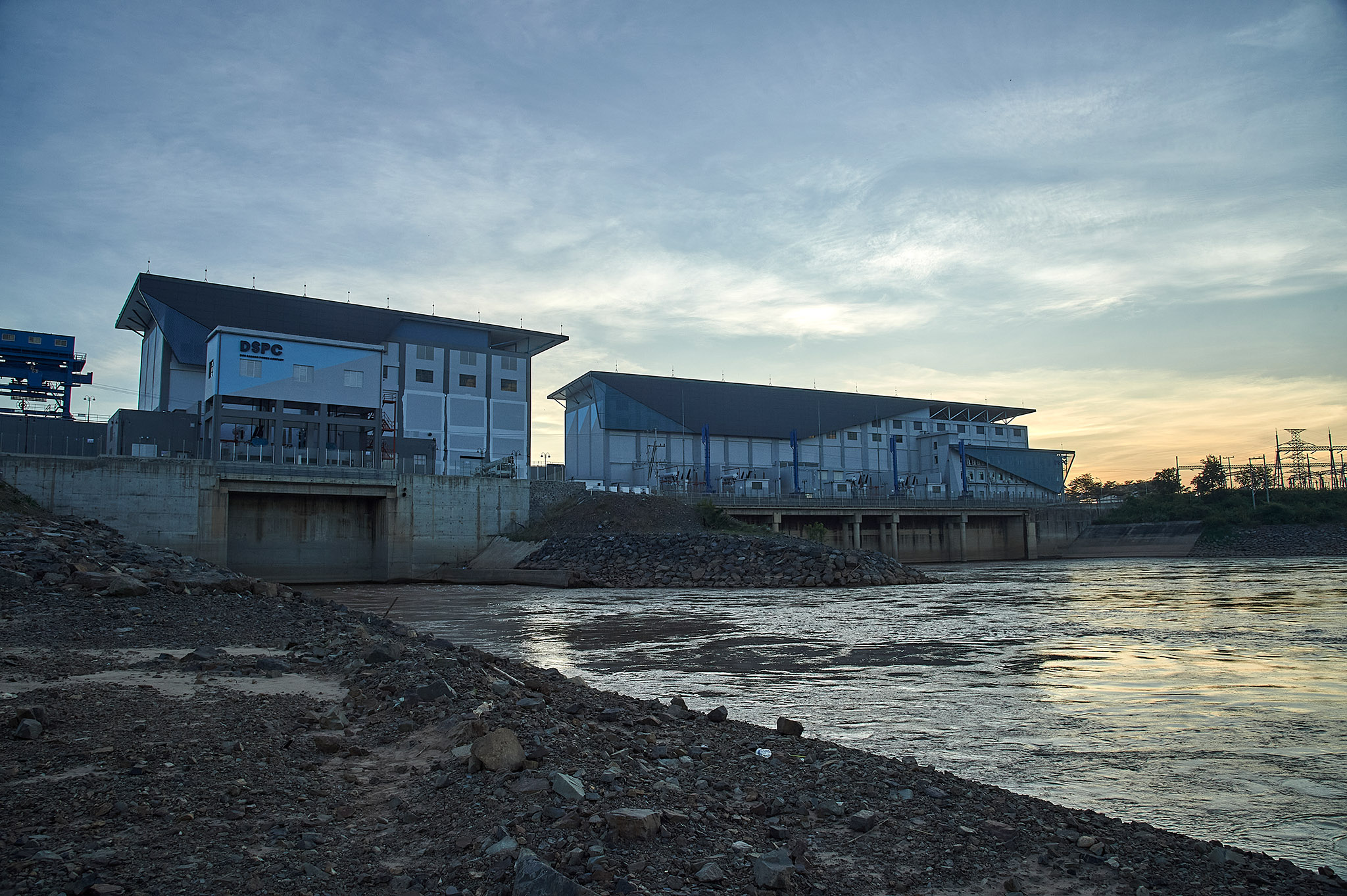
Photo: Sayan Chuenudomsavad
Photo: Sayan Chuenudomsavad
Photo: Sayan Chuenudomsavad
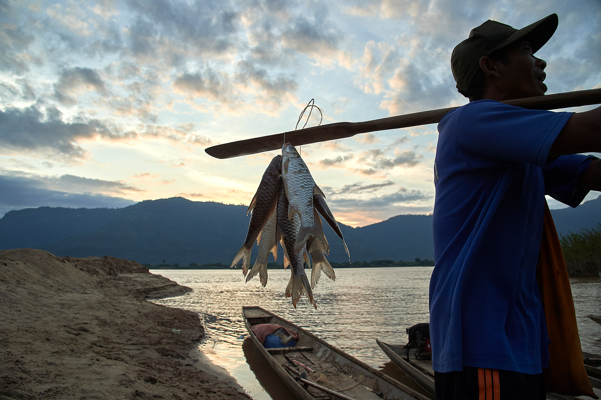
Photo: Sayan Chuenudomsavad
Photo: Sayan Chuenudomsavad
Photo: Sayan Chuenudomsavad
Near the dam site, many tree species on the islands and sandbanks of the Mekong River have adapted to withstand strong currents because they are submerged when water levels rise. These trees can withstand flooding for extended periods, but changes in water levels due to dam construction and operation, as well as climate change, have led to significant loss of trees as well as the integrity of the ecosystem.
Photo: Sayan Chuenudomsavad
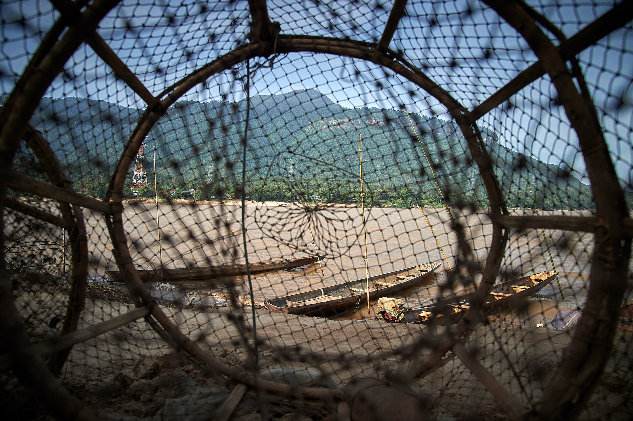
Photo: Sayan Chuenudomsavad
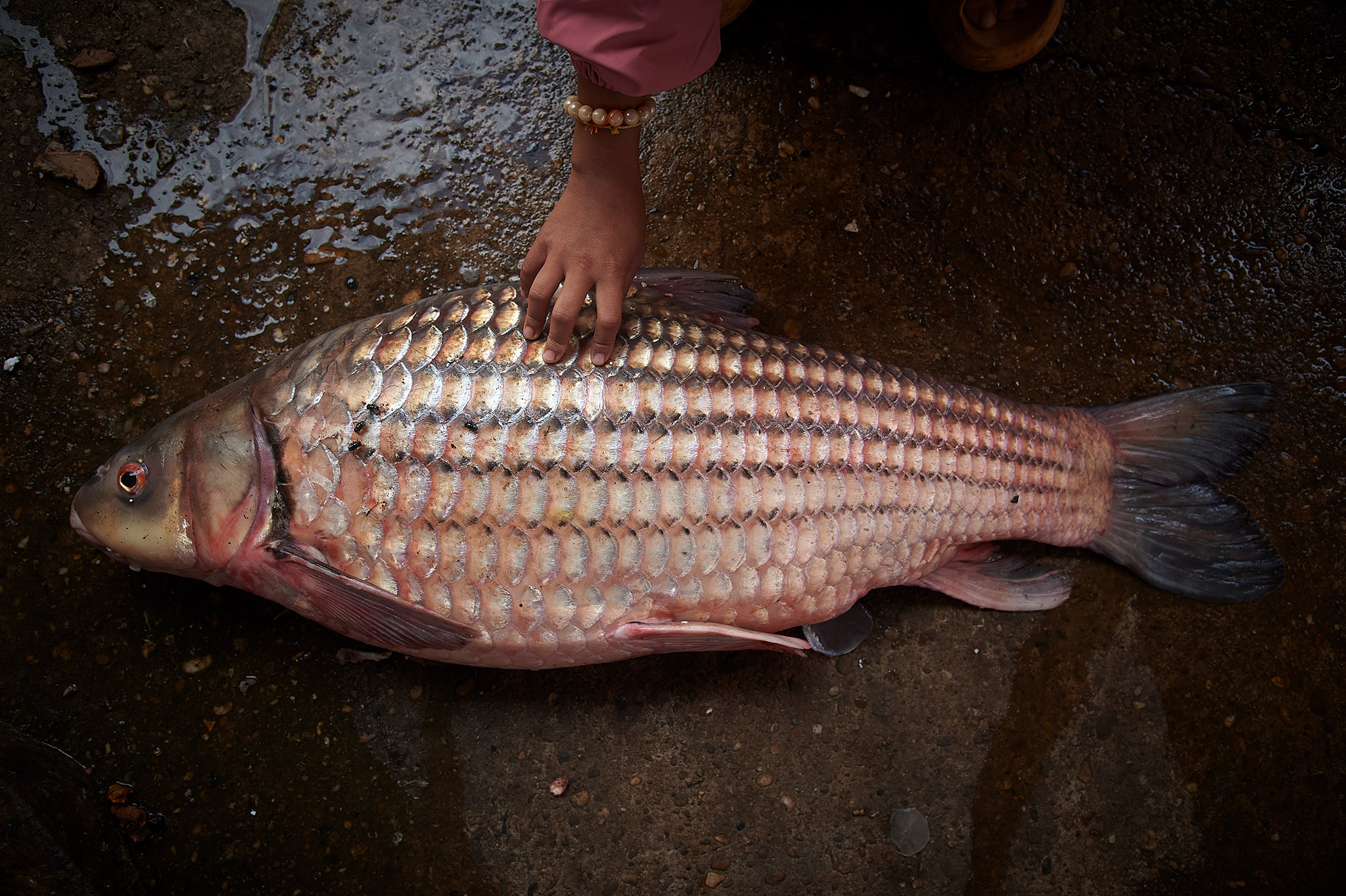
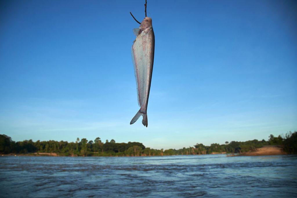
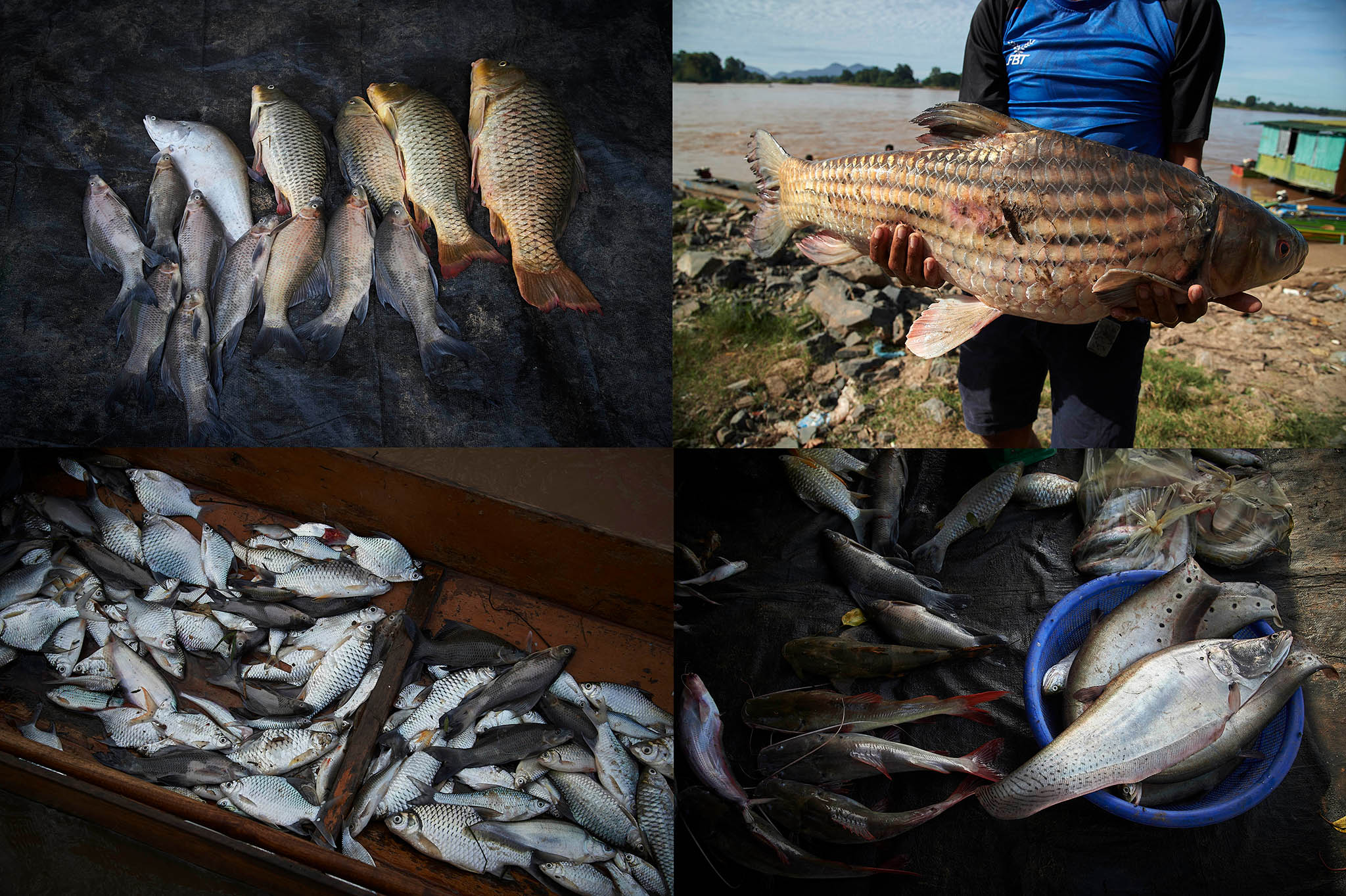
A Jullien’s golden carp (Probarbus jullieni), weighing approximately 15 kilograms, was caught in the Mekong River near Pakse town in Laos and sold for around 2–2.5 million kip (US$93–$115) in late November. Fishers can still catch specimens of this size in southern Laos, but their abundance has declined due to physical barriers created by dams across the river. Inland capture fisheries, which involve harvesting fish and aquatic organisms from freshwaters like rivers, lakes and wetlands, support the local economy of the Mekong region and serve as a primary occupation for riverine residents along the Mekong.
Photo: Sayan Chuenudomsavad
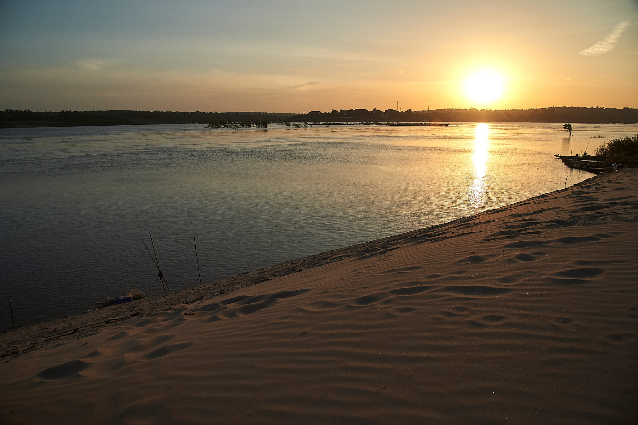
Photo: Sayan Chuenudomsavad
Photo: Sayan Chuenudomsavad
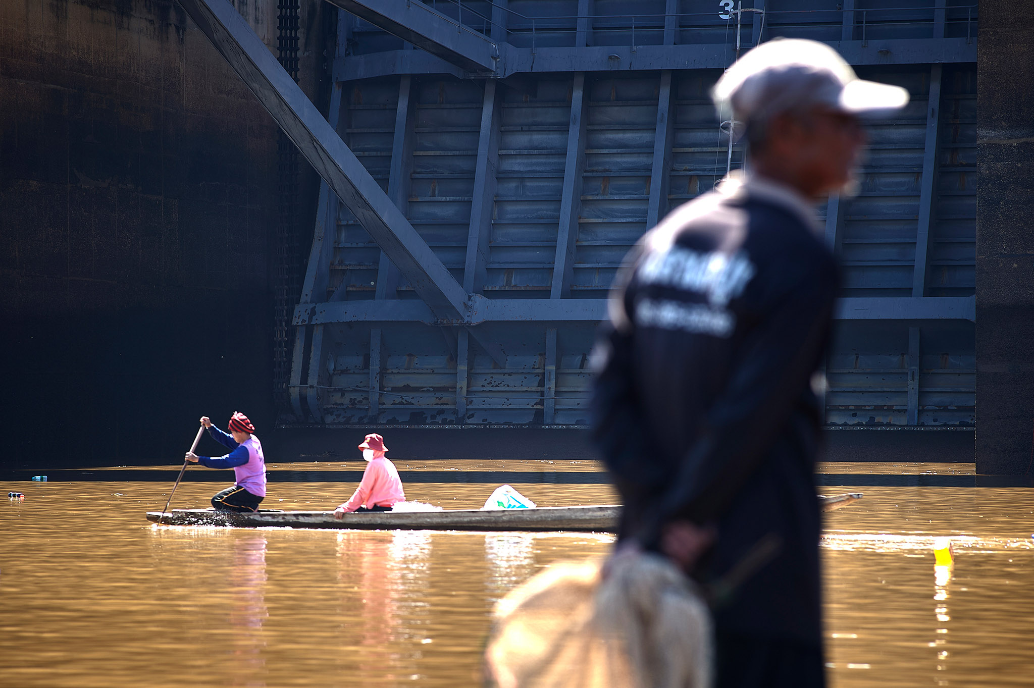
Photo: Sayan Chuenudomsavad
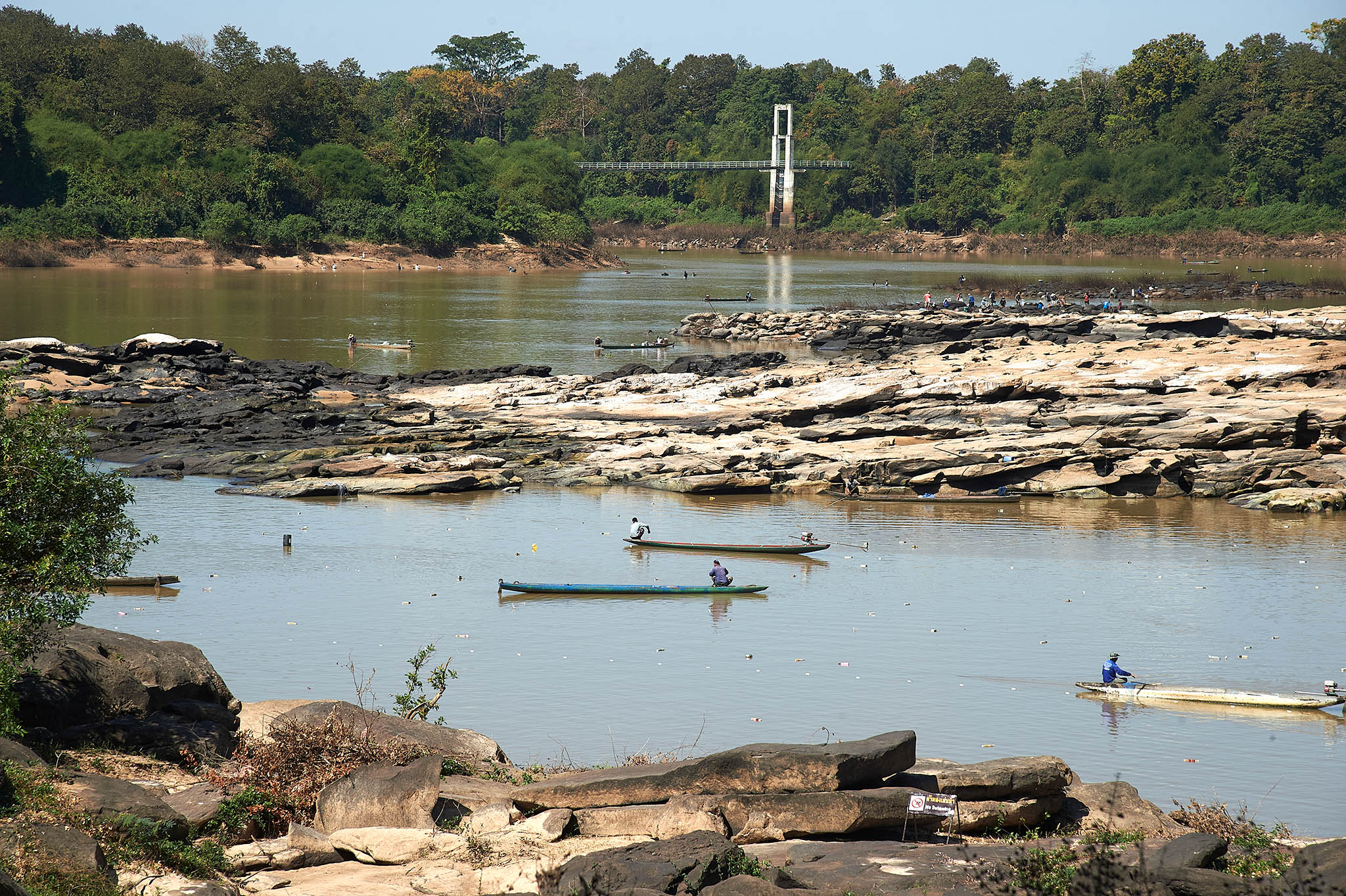
Photo: Sayan Chuenudomsavad
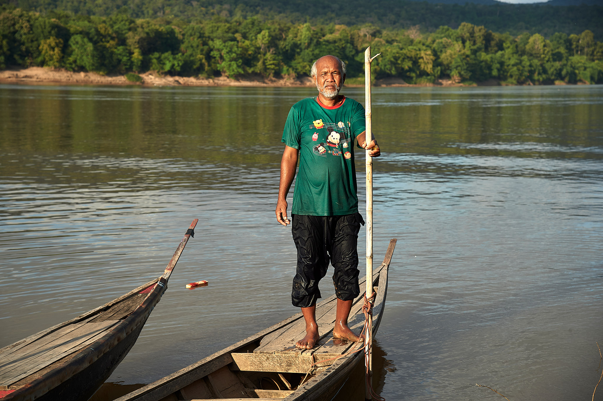
Photo: Sayan Chuenudomsavad
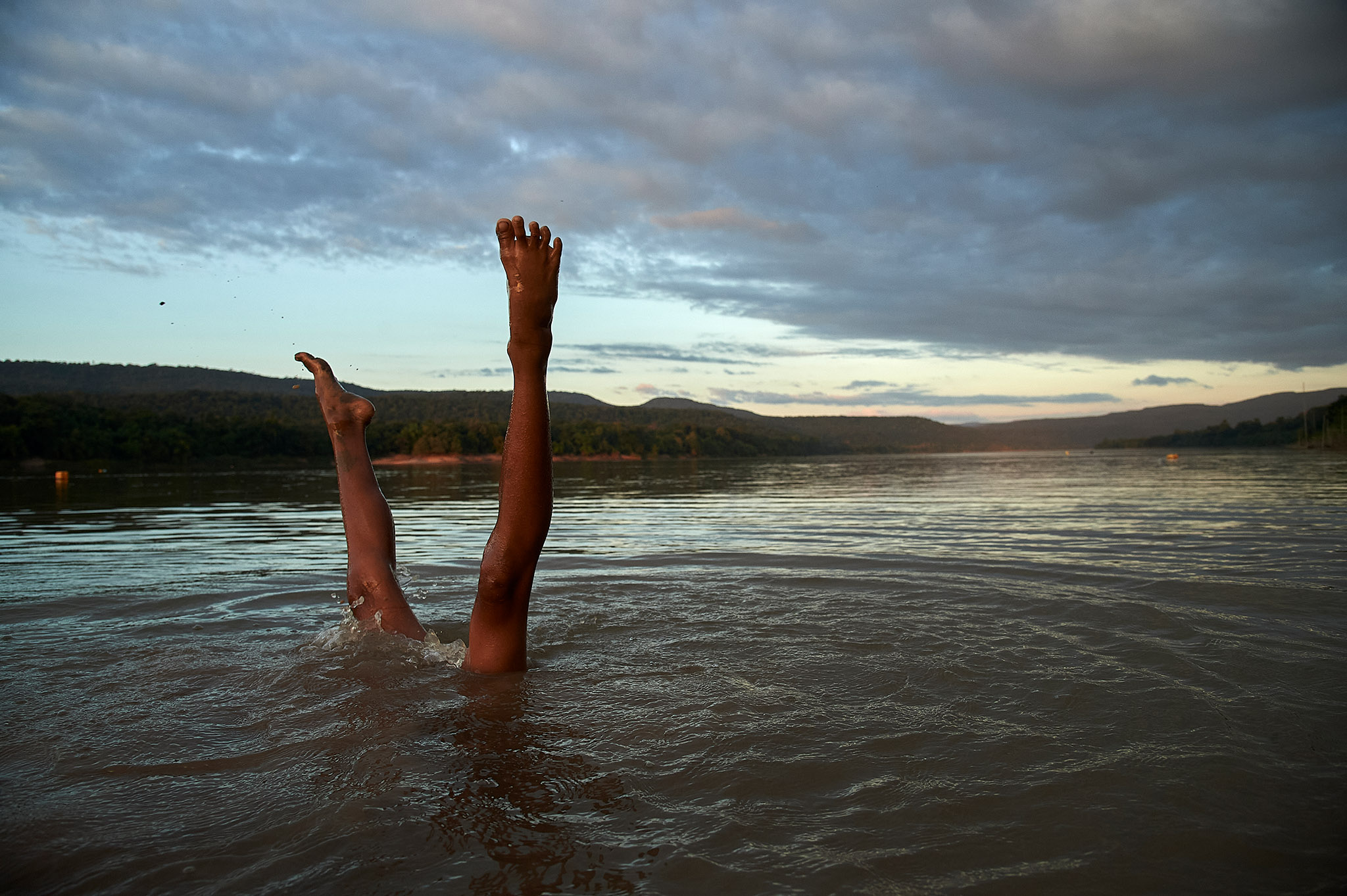
At Ban Veun Buek, children still enjoy swimming in the Mekong River without knowing that their village may one day be submerged by a dam far downstream.
Photo: Sayan Chuenudomsavad
This photo essay is part of the SPECIAL REPORT SERIES: Environmental Challenges under the Great Power’s Influences.


A documentary photographer residing in Bangkok, Thailand. Captivating and vibrant, his images capture and tell stories of everyday people living alongside the challenges of development, environment, and social changes in the Mekong region.